Brick world map
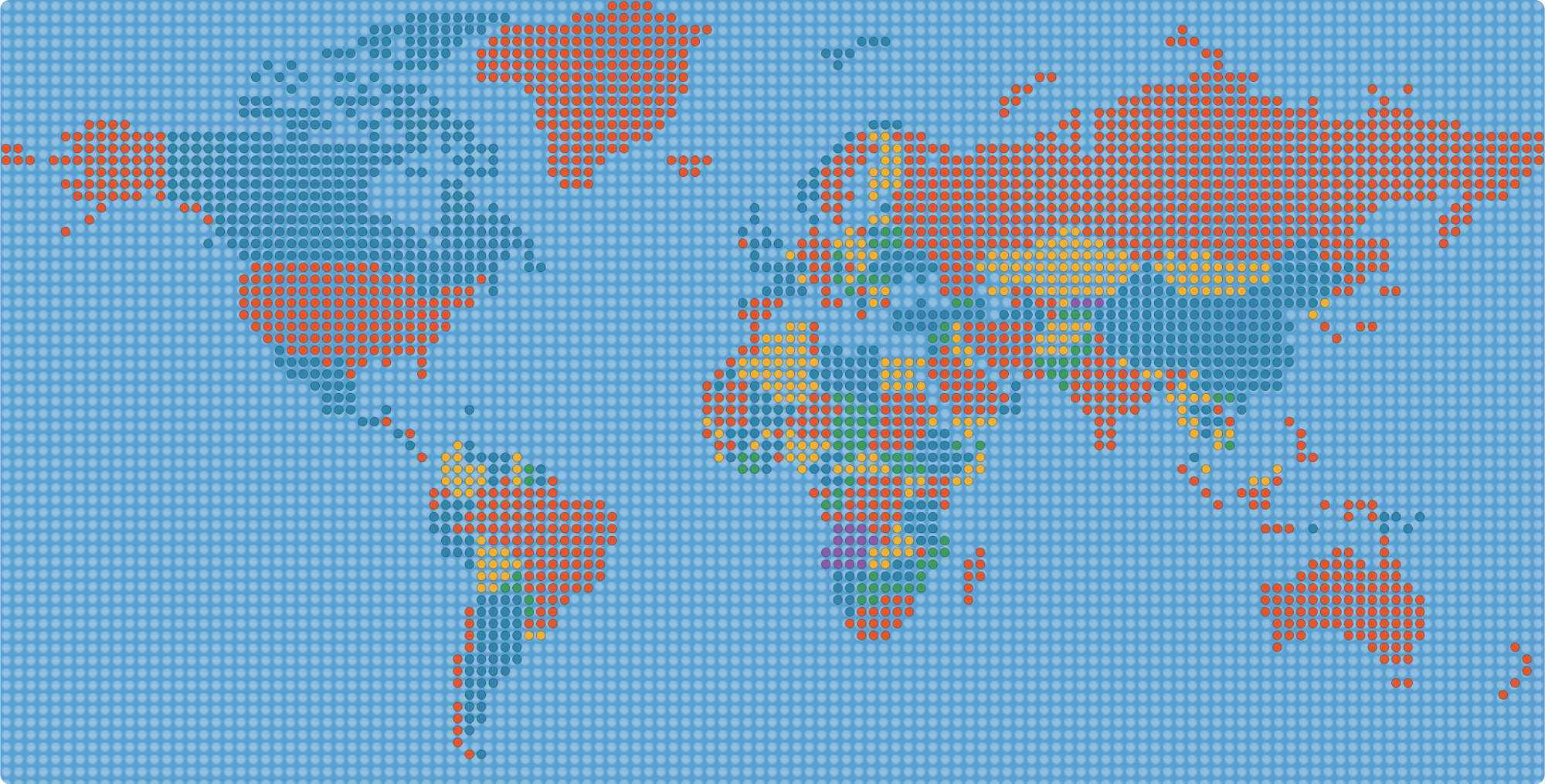
The world drawn as a grid of round studs, like a mosaic built from toy bricks. Every land stud is coloured by country, and neighbours always get different colours.
About this brick-style world map
This map is made of 2,632 studs on a 130 by 66 grid. Each stud sits on land that belongs to one country, so you can use it as a pattern for a mosaic, a pixel-art craft, a classroom display or a building project. Hover or tap to see which country a stud belongs to.
Building your own
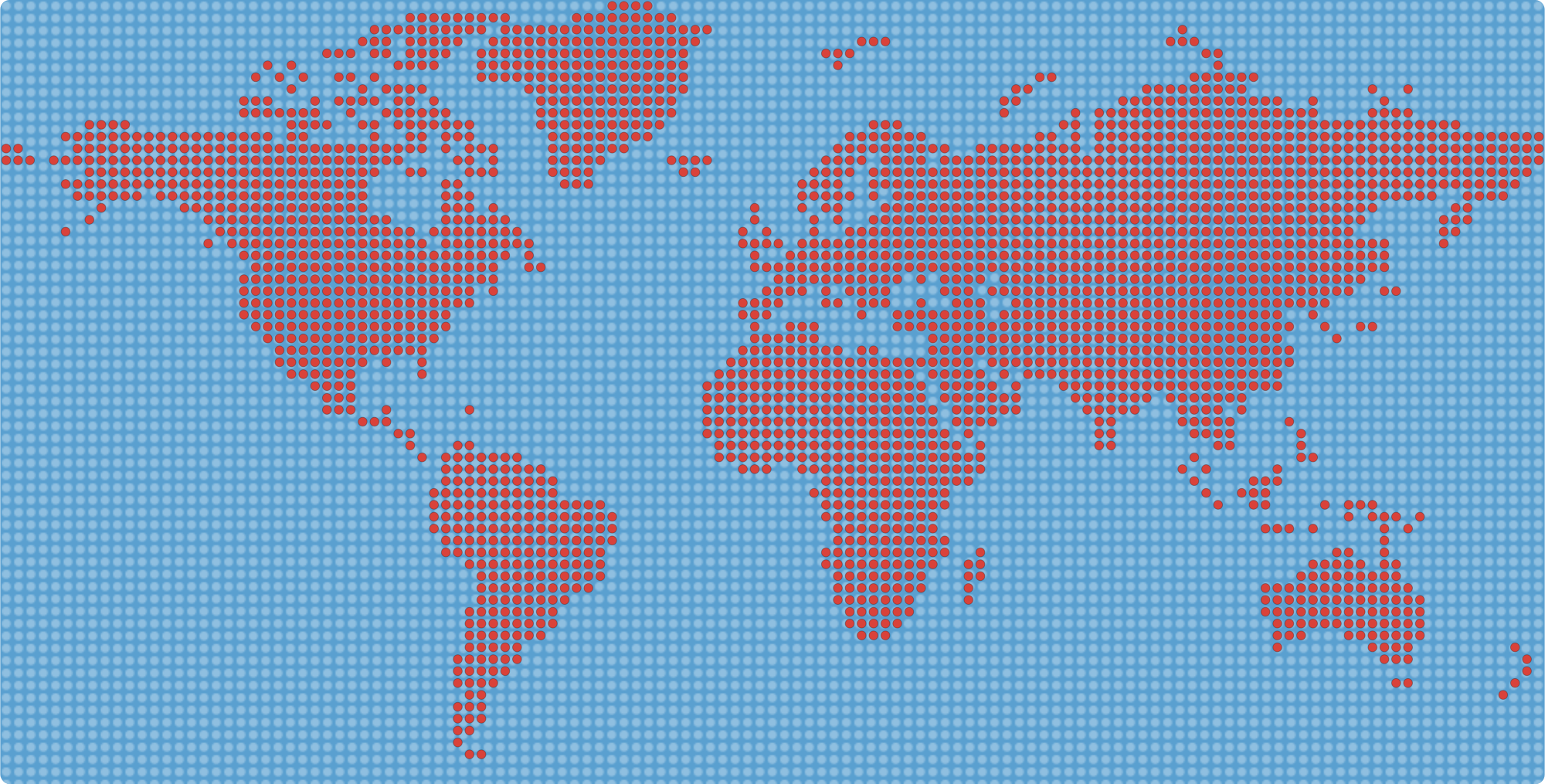
To recreate it, pick a plate with the same grid proportions, count studs row by row from the downloaded SVG and use one colour per country, or switch to One colour for a simpler build. Many people use a different colour for each continent instead, which also works well. The pattern is meant as inspiration; you may need to adjust the grid to the plate size you have.
Ideas for using the brick map
- Mosaic wall art: use it as a template for a large mosaic or a pixel-art style poster, one stud per cell.
- Classroom display: print it big and let each pupil colour in their own country or the ones they have visited.
- Cross-stitch, beads and tiles: any craft that works on a grid, such as cross-stitch, fuse beads, knitting charts or tiles, can follow the same pattern.
- Games and challenges: count the studs in each country and guess which is biggest, then check the totals.
- Gifts and decorations: a simple one-colour version looks good framed on its own.
How the map is made
The map starts from accurate country outlines. A grid is laid over them, and each cell whose centre falls inside a country becomes a stud of that country’s colour. Every other cell is left as sea. Countries that touch each other are given different colours using a simple colouring rule, so borders stay visible even though the outlines are gone. Because a grid is coarse, narrow countries and small islands can lose studs or disappear, while large countries such as Russia, Canada and Brazil stay easy to recognise.
Making it bigger or smaller
The downloadable SVG scales to any size without losing quality. If you want more detail for a bigger build, use a finer grid; if you only have a small plate, use a coarser one. The proportions of the map stay the same, so you can keep the overall shape and just change how many studs make up each row.
Why a studded map?
Turning a map into a coarse grid hides small detail but keeps the big shapes of the continents recognisable, which makes it a fun way to teach geography to children. For the real borders, see the blank world map.
People often search for this as a “LEGO world map”. This is an independent, free map and is not made, sponsored or endorsed by the LEGO Group. LEGO is a trademark of the LEGO Group.
Frequently asked questions
What is a brick world map?
A map of the world drawn as a grid of round studs, like a mosaic made from toy bricks, with each country in its own colour.
Can I download it?
Yes. Download the SVG for a full-colour version or the one-colour SVG for a simpler pattern.
Can I use it to build a real mosaic?
Yes, as a pattern. Count the studs per row from the file and adjust the grid to the plate you have. It is a guide, not an official building set.
Why are some small countries missing?
At this grid size a stud is larger than many small countries and islands, so they do not appear. The atlas pages cover them.
Is this an official LEGO product?
No. It is an independent map, not affiliated with or endorsed by the LEGO Group.
Are the borders accurate?
They are simplified to a grid, so edges are approximate. Use the blank world map for accurate outlines.
How many studs are on the map?
About 2,600 land studs on a 130 by 66 grid, plus the sea studs that fill the rest of the plate.
Can I make a smaller or bigger version?
Yes. The SVG scales without losing quality, and you can follow the same layout with a coarser or finer grid.
Can I use it for crafts like cross-stitch or beads?
Yes. Any craft that works on a grid can use the pattern. It is free for personal and classroom use.